Seattle weather: A few more showers Wednesday then drying out and warming up
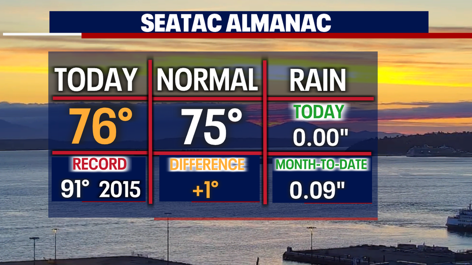
SEATTLE - It sure felt a bit muggy today as highs pushed into the upper 70s with a few afternoon showers. We'll see a chance for a few more showers with highs in the 70s over the next two days before a drier and warmer trend starts.
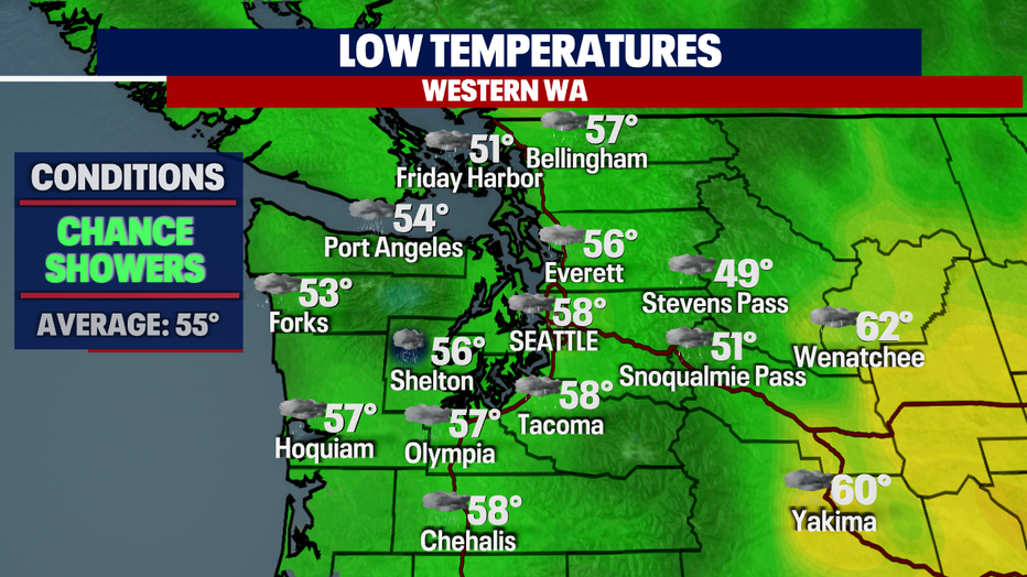
We expect a few showers overnight with temperatures cooling off into the upper 50s for the metro area with cooler highs along the coast.
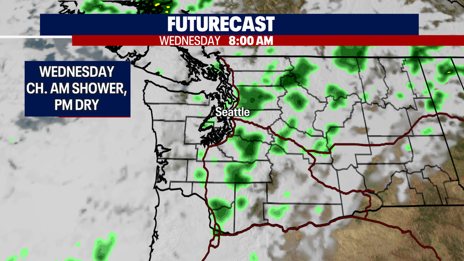
An upper-level trough sitting offshore keeps a chance for a few more rolling showers tomorrow at times.
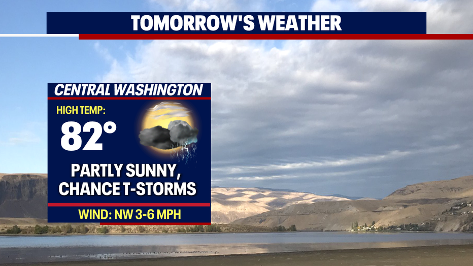
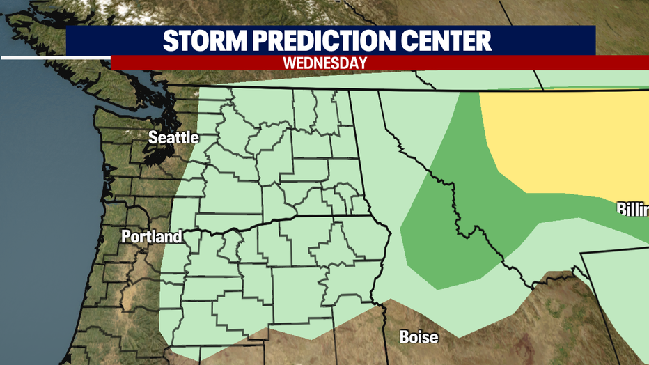
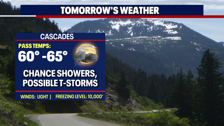
The foothills and mountains have a chance at seeing thunderstorms firing up, especially during the afternoon/evening hours. And we can't rule out a chance for an isolated storm to pop up into the lowlands, but most of the convective activity will cling to the high country.
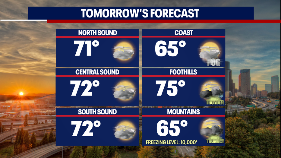
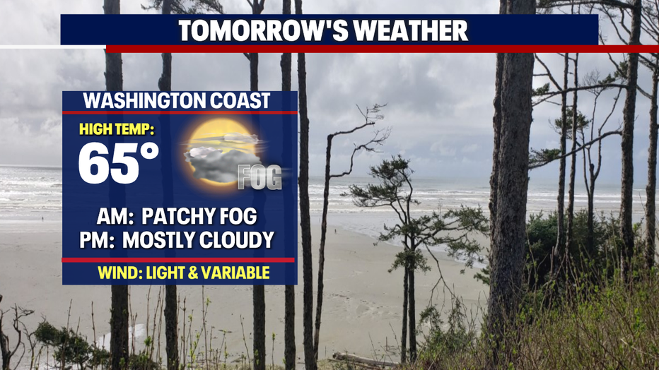
Highs Wednesday are cooler, landing in the low 70s for most. The coast tops out near 65 after morning, patchy fog burns off.
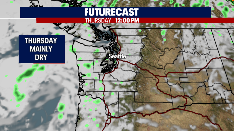
We'll see another chance for a few showers to move through midday Thursday before starting to dry out again. Highs land in the low to mid 70s.
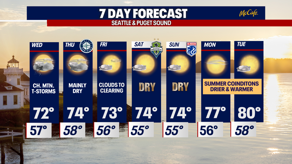
By the end of the week, we turn towards a drier and warmer trend. After morning clouds Friday, the afternoon sees a decent amount of blue sky. Highs land in the mid 70s.
And more sunshine on tap for the weekend with highs in the low to mid 70s. Monday and Tuesday we'll warm up even more, possibly into the low 80s for some! Enjoy!
Have a great night! ~Erin Mayovsly, FOX 13 Forecaster
*Beach Forecast
*Mountain Forecast
*Central WA Forecast