

The Big Thaw! Rain will top melting snow as Western Washington warms up
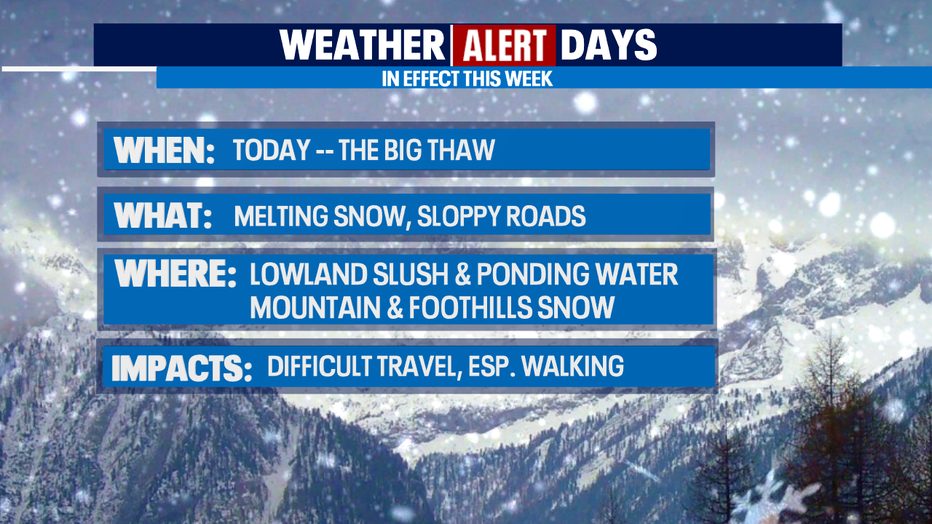
SEATTLE - One more WEATHER ALERT DAY associated with the big Valentine Weekend Snow Event! With rain on top of melting snow today, the main impacts will be difficult travel - in a car or just walking around.
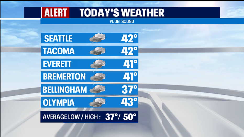
We are warming up. Rain is falling in the lowlands, and the snow is melting.
It's so much snow that the resulting slush is making travel challenging. There is also ponding water in areas. If there was ever a day for BOOTS, this is it!
We'll warm up to the low 40s today, so the melt will continue as light rain falls in the lowlands.
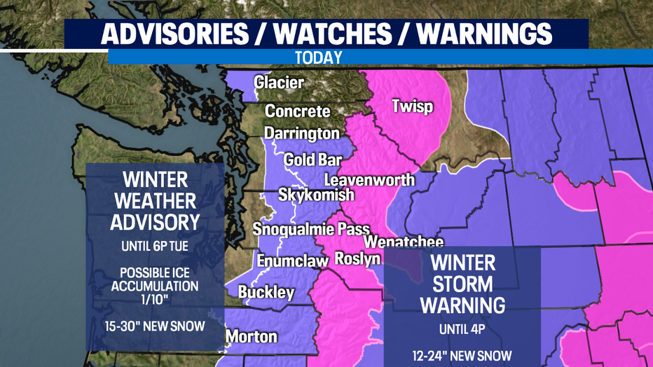
We will continue to get snow in the mountains where a WINTER WEATHER ADVISORY continues until tomorrow evening. This includes parts of Whatcom County where we're getting snow near the Canadian border. Also, Eastern Washington remains snowy and very cold.
Today, most of us will have rain at times, with some drying, and we're warming up to the upper 30s and low 40s - well above freezing. The melt will continue all day and overnight because we're staying above freezing overnight too.
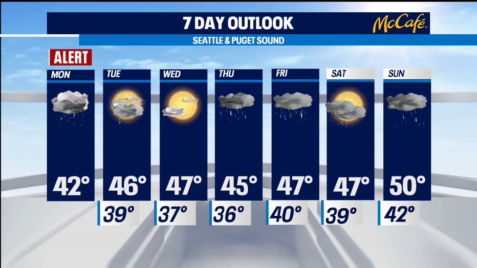
TOMORROW will be mostly cloudy with a chance of rain showers. Snow continues in the mountains throughout the day with snow level of 2,000 feet.
WEDNESDAY looks like it could be dry, partly sunny, with highs in the uppers 40s. There is still a chance of more snow in the mountains.
THURSDAY/FRIDAY it's back to rain at times with highs in the mid/upper 40s.
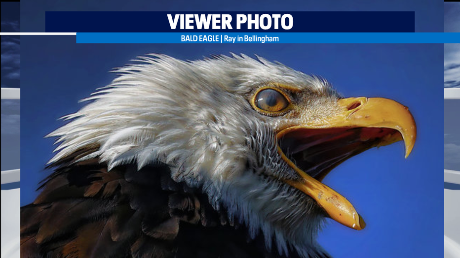
Happy Presidents Day. Here's an amazing photo of a bald eagle from viewer Ray who was in Skagit County when he got this shot.
Meteorlogist M.J. McDermott