Seattle weather: Showers at times through the weekend
A low pressure system off the southern Oregon Coast will continue to spin showers into Western Washington at times this weekend.
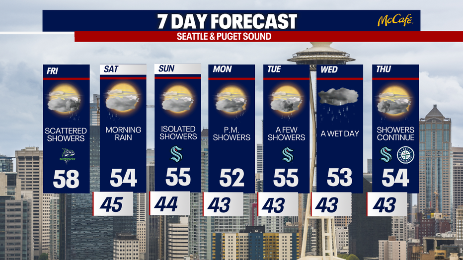
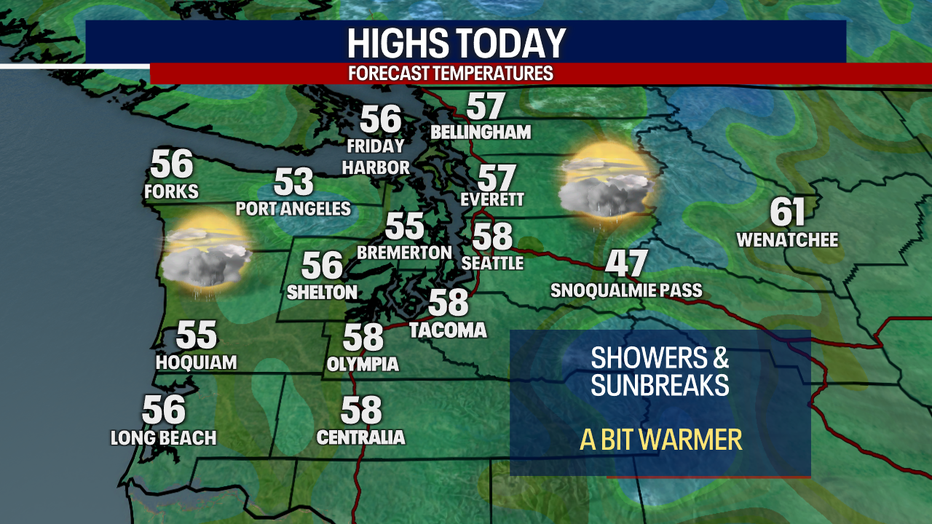
Rain showers, clouds, and sunbreaks will be the story for the next three days around the Puget Sound area. Friday will be the warmest day of the next week with highs in the upper 50s.
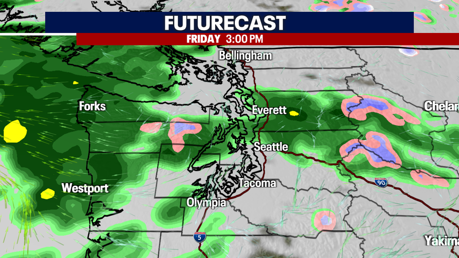
Showers will continue to impact the area Friday, but they should be light. Snow levels will remain above 5,000 feet, so it will mainly be rain over the passes.
This weekend, snow levels will be between 3,500 and 5,000 feet. Only a few inches of fresh snow is expected over the passes through Sunday night.
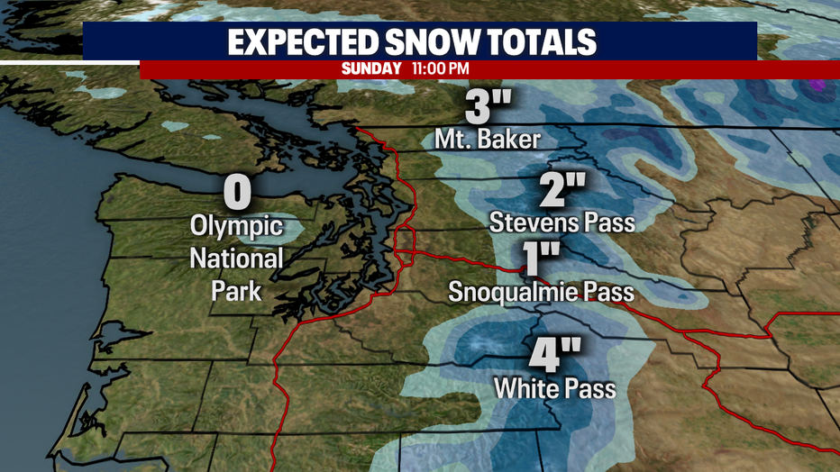
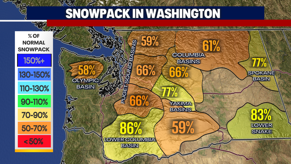
The snowpack has decreased a bit over the past week due to the dry weather. While the basins are not in dire straits, the snowpack is well below normal for this time of year. Light snow accumulations are expected through the weekend and into early next week.
The next strong weather system will arrive midweek. This could bring heavy mountain snow, gusty wind at times, and heavier rain in the lowlands. Until then, enjoy this very typical early spring weather.