

Scientists seek new monitoring systems as Snohomish County volcano is at 'very high' threat of eruption
SNOHOMISH COUNTY, Wash. - Editor's note: This story was originally published in February 2022, but was re-shared in May which is Volcano Awareness Month by proclamation of Washington Gov. Jay Inslee.
National Parks along the west coast promoted visiting volcanoes and outdoor recreation during "Volcano Week." Some agencies in Washington used the week as an opportunity to raise awareness about the five active volcanoes in the state.
The Pacific Northwest is enchanted by nearly a dozen majestic volcanoes that shape the landscape, however, there is concern over a volcano that lacks eruption monitors to predict when it might blow up.
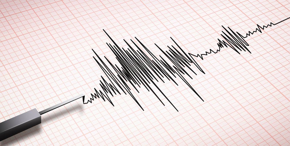
Glacier Peak in Snohomish County is currently at a "very high" threat for eruption -- the top classification of threat levels, according to federal scientists. Currently, there is only one seismometer on the volcano to detect movement.
"You might ask why? Why is there only one seismometer at this volcano that is active and is very high threat level? Well, it’s very remote. It is in the middle of a designated wilderness, and beyond that, the area around it is wilderness," said Weston Thelen of USGS Cascades Volcano Observatory. "So, trying to get the data from the volcano out to a place where we can then download it and get it onto our computers is very difficult."
Thelen is a research seismologist for the observatory. He said the agency made a proposal to the federal government, asking to replace the current seismometer and add four more. He said the tools are critical in collecting the most accurate data and motion.
"We really need a group of instruments, not only seismometers, but also instruments that help us understand if the volcano is inflating or deflating," said Thelen. "That could be an additional clue that we can use, on top of earthquakes, it would tell us that something is going on on the volcano and that we need to be responding to that. One station is not generally enough for us to know or be able to forecast or tell people that unrest is occurring."

Newly-launched 'MyShake' app alerts users to incoming earthquakes
A new iPhone app from the U.S. Geological Survey warns users when an earthquake is about to hit.
Information from the additional monitors could be life-saving for the Town of Darrington, only 20 air miles from Glacier Peak and in the Lahar hazard zone.
"Those new monitors would give us the adequate time to prepare our community, to evacuate, and create those mechanisms and infrastructure it needs to get out of harm’s way," said Dan Rankin, mayor of Darrington. "They’ll be real-time, they’ll be in strategic places, so we know what’s going on on that mountain all the time, 24/7, 365 days a year."
With five active volcanoes in the state, the Washington Emergency Management Division advised everyone to prepare an emergency kit that includes two weeks' worth of food, water, clothes, hygiene products and comfort items.
RELATED: 41st anniversary of Mount St. Helens eruption spotlights improvements in volcano monitoring
"This evacuation order or evacuation recommendation, even, could happen at the middle of the night. You could have to wake up and immediately grab that bag and get out the door. For these Lahar zones, if everybody gets on the road – we’ve done this with modeling – if you drive, not everyone is going to make it out. So, we recommend walking. You can practice these evacuation routes, practice walking with your family," said Brian Terbush, Emergency Management’s earthquake and volcano program coordinator.
Terbush suggested people spend one hour per month preparing an emergency kit and practicing a volcano evacuation plan. Emergency Management has online resources for guidance.
"If you’re going to be in one of those zones, if you live in one of those zones, or go to school in one of those zones it’s really important to understand how to evacuate out of that area and also how you’re going to get alerted if that’s going to happen," said Terbush.
Get breaking news alerts in the FREE FOX 13 Seattle app. Download for Apple iOS or Android. And sign up for BREAKING NEWS emails delivered straight to your inbox.
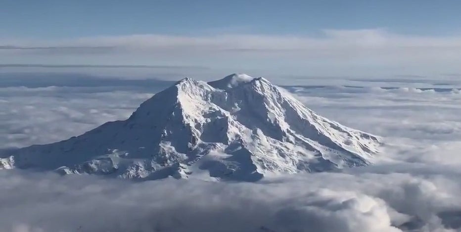

USGS proposes expanding Mt. Rainier's volcano monitoring network
Mt. Rainier is just as a majestic as it is dangerous in Washington. The US Geological Survey classifies it as a very high threat volcano.
Watch FOX 13 Seattle for the latest news:
Rankin said during a state of emergency and time is of the essence, having a plan could make a significant impact.
"It’s not only important, it’s crucial. And we witnessed this in 2014 in the Oso landslide, how important it was when your community is instantly cut off," said Rankin.