Warming up with plenty of September sunshine!
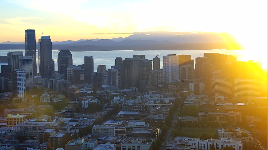
SEATTLE - How about another round of sunshine? Conditions are very nice across much of the Pacific Northwest. Summer continues to roll on this first day of September. Normally heading into Labor Day weekend we see clouds and some rain at times, but this year won't disappoint around Puget Sound. Here's a look at how we faired today around the state.
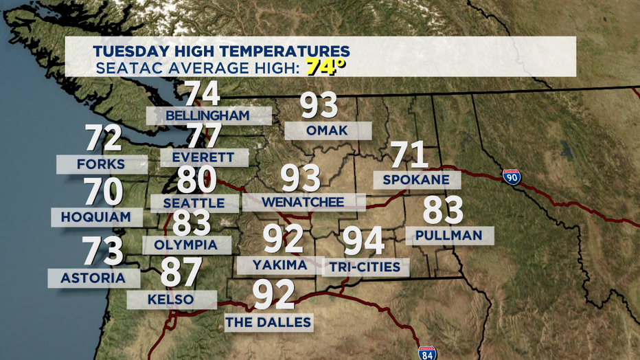
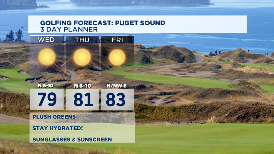
The rest of the week looks fantastic. Temperatures will soar into the low to mid 80s. High pressure is the dominate element keeping us sunny and dry.
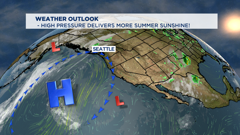
Each night we can expect a marine layer push sending clouds and some fog to the usual spots... the coast and SW WA near the Chehalis Valley. Highs will warm slightly each day with the coast in the 70s, the north Sound upper 70s to low 80s with Seattle south and into the foothills seeing the biggest jump into the mid to possibly near 90 for some spots away from the water. The marine push will be stronger on Friday so temps might just hang in the low 80s, but over the weekend the ridge will strengthen over our region and that is where we could pick up some 90 degree readings. HOT!
Make sure with the heat you're staying safe out on our area waterways. Remember rivers area running fast and high while the Sound and Ocean waters are still only in the mid to upper 50s. Lake temperatures are much warmer in the mid to upper 70s. Don't forget to wear a life jacket and keep the sunblock handy! Right now the hottest day just might be Labor Day! Enjoy!
Have a great night! ~Erin
________________________________
- Erin Mayovsky, Q13 Forecaster
Twitter: @ErinMayovsky
FB: /ErinMayovsky
Instagram: @ErinMayovsky
________________________________