

The last dry day before a long stretch of wet weather
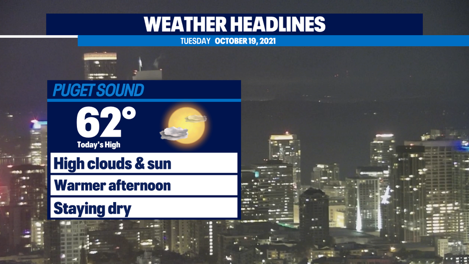
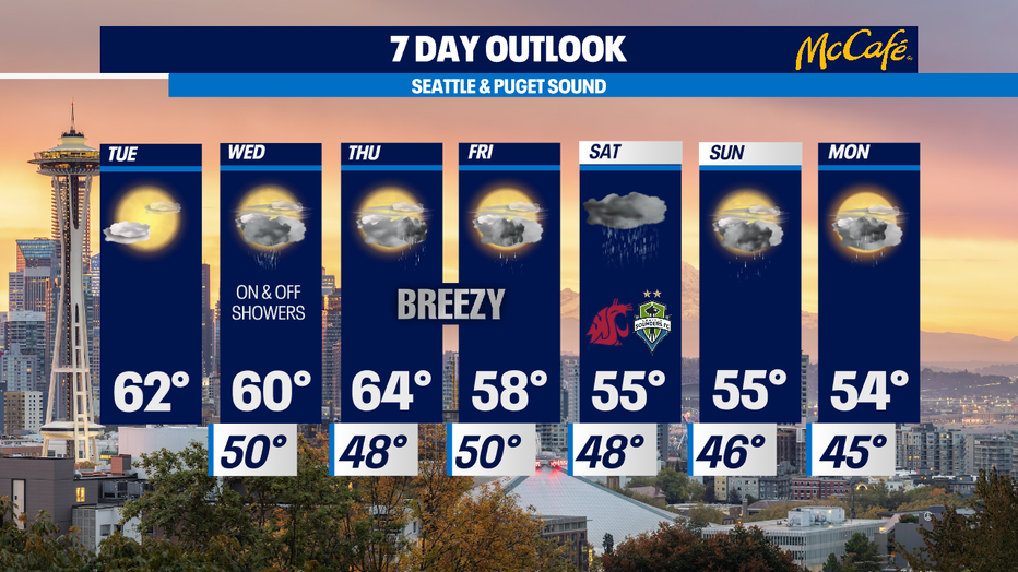
Seattle - Other than a few areas of fog in the south sound, we are looking at beautiful mostly sunny skies this morning. Expect a filtered sunshine look at times today with high clouds in the mix. This will likely be the nicest day of the coming week because the rain returns Wednesday.
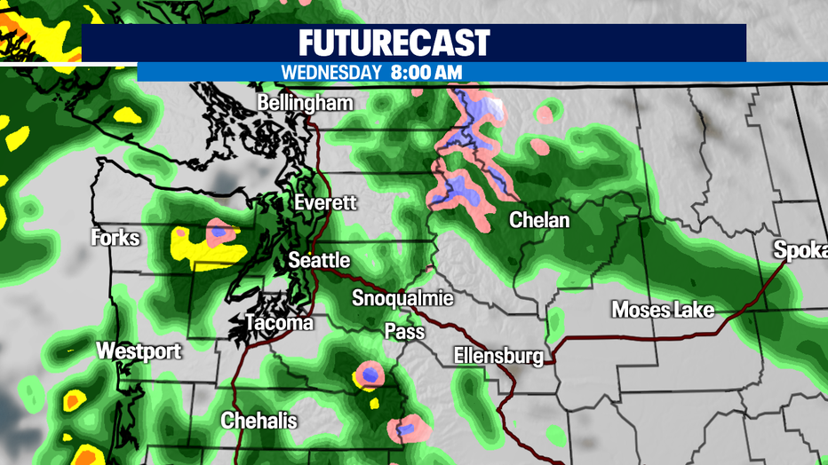
Wednesday will bring on and off showers throughout the day starting just before the morning commute. Rain could be heavy at times if you get trapped under a storm cell. Most of the heaviest rain will be along the coast and in the higher elevations. This system will bring some breezy winds to the Washington coastline and the northern inland areas of the San Juan, Western Whatcom and Skagit, and Island Counties. Gusts could reach up to 30 mph in those areas, but winds will be noticeably less breezy inland and down toward the central sound.
The wettest system of the week will hit the area starting Thursday evening. The heaviest rain will fall overnight and showers will continue through Friday. We could see an inch of rain during that time. Friday will bring more showers and a series of wet and breezy systems will continue to hit the area through the weekend and into early next week.
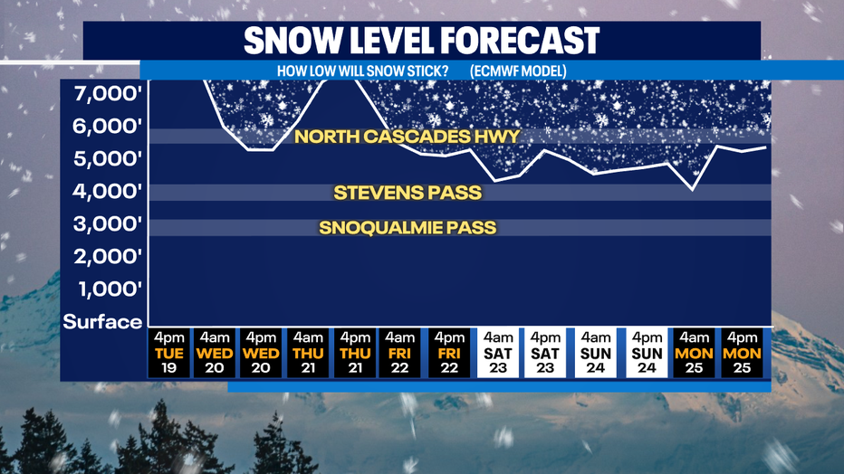
Snow levels will drop to around 5,000 feet on Sunday and could drop a bit lower on Monday. It'll be close, but Stevens Pass could see some snow on the roads Sunday into Monday.
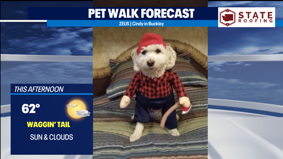
Zeus is ready to chop some wood for us before he goes out on his walk. It's a beautiful day to get outside!
MORE FROM FOX 13 WEATHER:
DOWNLOAD: FOX 13 Weather and News Apps
WATCH: Forecast and Radar
READ: Closures and Delays
CHECK: Latest Weather Alerts and Live Traffic Map
INTERACT: Submit your Weather Photo
DAILY BRIEF: Sign Up For Our Newsletter
FOLLOW: Lisa Villegas, Erin Mayovsky, Brian MacMillan and Scott Sistek