

Rain at times for the last weekend of January
Seattle - Today, we're starting out with areas of fog. But everyone is above freezing, so no danger of freezing fog. Except for a few morning spinkles, we will be dry today, mostly cloudy, and top out in the mid 40s. But there is a system off shore that will bring rain to the coast by dinnertime and will move over the region overnight into our Saturday. We'll also see some gusty winds with the arrival of this cold front. The windiest spots will be the North Sound - Western Whatcom & Skagit Counties and our island communities, also the Washington Coast. Gusts could be in the 40-45 mph range.
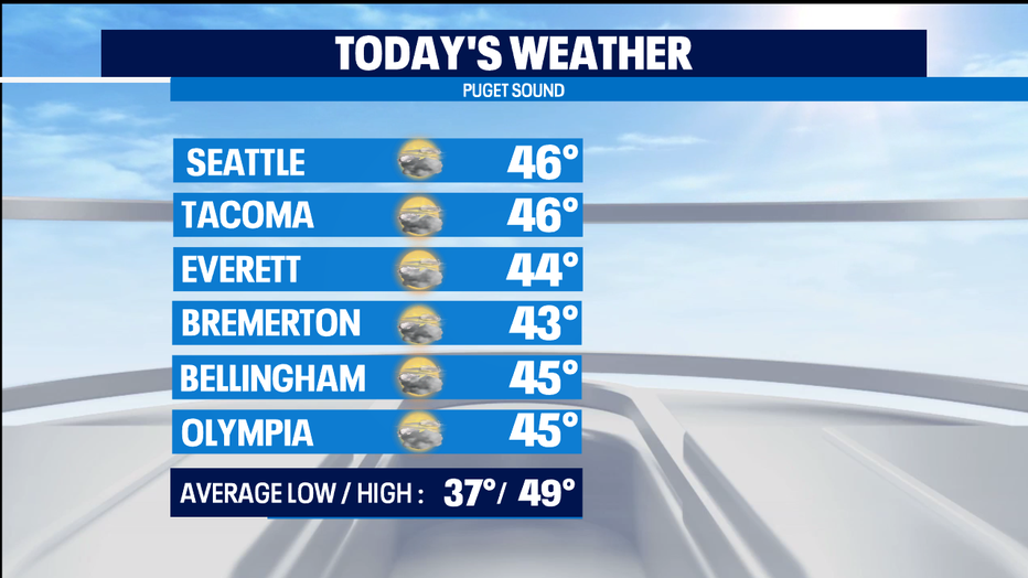
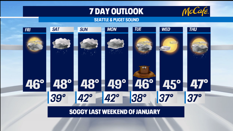
Tomorrow will freature rain at times, with some dry breaks between showers. We'll continue to have gusty winds to the north. It'll be a bit warmer, upper 40s. Normal for Seattle is now 49. Mountain snow will fall with a snow level of about 2,000 feet, so all the passes will be affected. Not a huge dumping, but we'll get some fresh powder for skiers.
Sunday also looks rainy, with probably more steady rain than Saturday. Expect gusty winds to the north and more mountain snow with a snow level around 3,500 feet.
Monday looks wet too with showers on Tuesday, Groundhog Day.
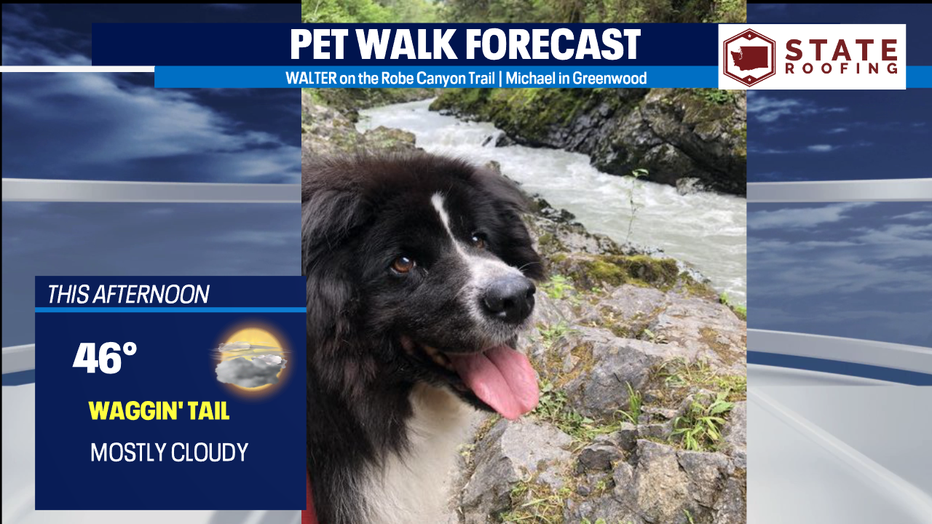
With dry weather and highs in the mid 40s today, it's a Waggin' Tail Day for the Pet Walk Forecast. Walter looks like he's having fun on the Robe Canyon Trail. And, no, Walter the dog was not named after Meteorologist Walter Kelley.
Meteorologist M.J. McDermott