

Persistently pleasant weather for Western Washington
SEATTLE - We call it "persistence" when the weather is the same day after day. We are being treated to some persistently pleasant weather this July.
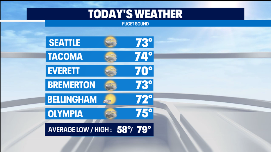
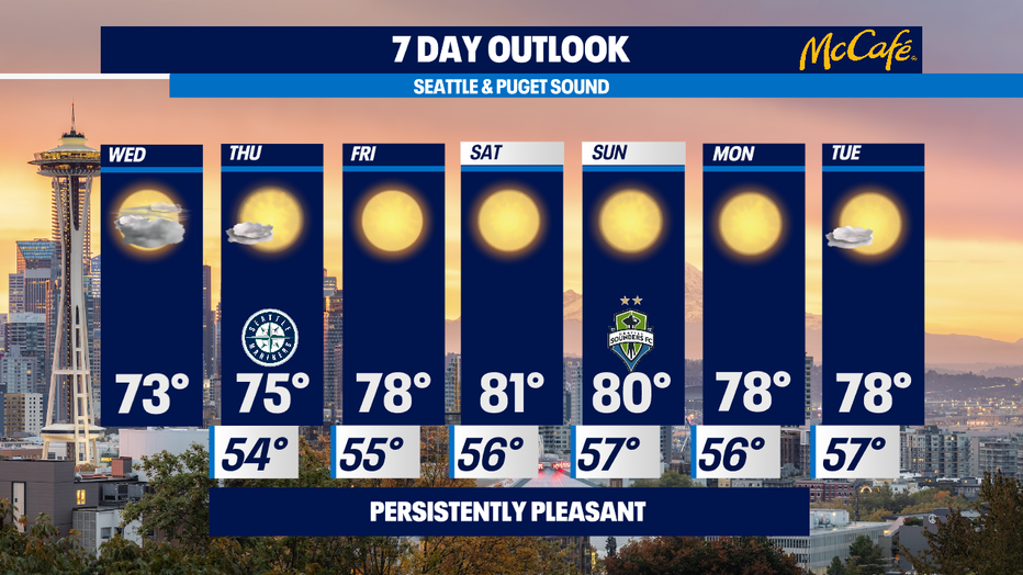
Wednesday will be a carbon copy of Tuesday with morning clouds, afternoon sunshine and highs in the comfortable low 70s, which is below normal. By the way, this is the hottest time of the year climatologically. Our normal high now until early August is 79 degrees.
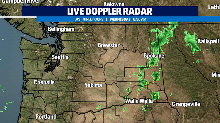
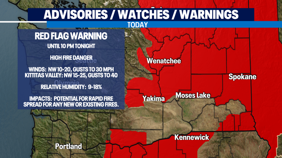
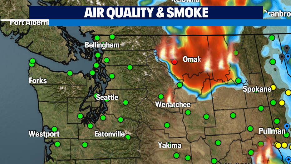
High fire danger continues in Central and Eastern Washington. There is a line of thunderstorms in Eastern Washington this morning and it's producing numerous lightning strikes. Any of these could ignite more fires. Also, there is a RED FLAG WARNING for most of Central/Eastern Washington for the gusty winds and low relative humidity which could cause fires to rapidly spread. The Okanogan area is seeing the most fires right now, and air quality there is Unhealthy (red dots). Smoke from these fires was carried all the way to New York City yesterday and probably will be today as well.
Tomorrow, we'll have fewer morning clouds and earlier sun, so it'll be a little warmer, topping out in the mid 70s.
Friday will be sunny with highs around normal - upper 70s.
Our weekend looks beautifully summery - sunny with highs around 80. Warm, but not too hot.
Next week, we'll start out with sunshine and highs around normal - upper 70s.
With morning clouds, afternoon sunshine, and comfortable temps, it's a Waggin' Tail Day for the Pet Walk Forecast.
-Meteorologist M.J. McDermott
Q13 FOX WEATHER RESOURCES:
DOWNLOAD: Q13 Weather and News Apps
WATCH: Forecast and Radar
READ: Closures and Delays
CHECK: Latest Weather Alerts and Live Traffic Map
INTERACT: Submit your Weather Photo
DAILY BRIEF: Sign Up For Our Newsletter
FOLLOW: Lisa Villegas, MJ McDermott, Erin Mayovsky, Grace Lim and Scott Sistek