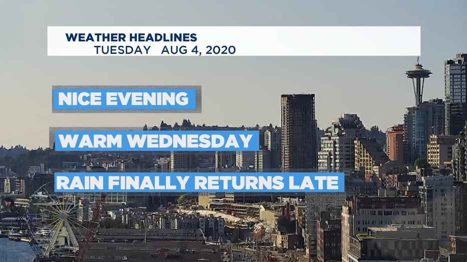
More summer sun with rain on the way later this week
SEATTLE - Happy Tuesday!
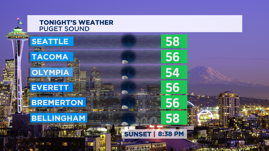
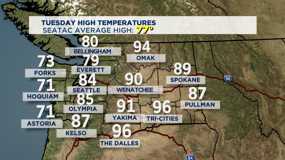
We saw another round of stellar weather around the Pacific Northwest. Here's a look at where we landed today temp-wise. Most of us above normal highs yet again!
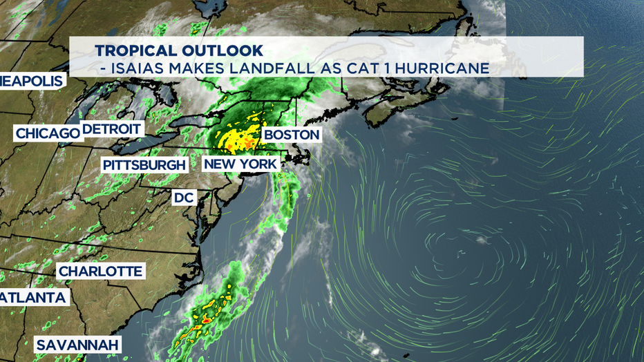
Our forecast seems fairly mild compared to our friends on the east coast with tropical forces still bearing down along the eastern seaboard after Isaias made landfall late last night as a category 1 hurricane. Folks there will be dealing with storm conditions through the week.
Mid week brings more beautiful blue skies after a few morning clouds, although the cloud cover will take a little longer to clear out after rain moves through first. Highs for Wednesday will climb into the upper 70s to low 80s again. By late night clouds will push inland and rain will move in overnight.... yes rain! We haven't had a real rain event since mid July.
With low pressure moving into the region our above average temperatures will fall into the upper 60s to low 70s. And that may feel pretty cool for a lot of us. Brr! But don't worry, we rebound just fine.
A mostly sunny day as we kick off the weekend Friday. Highs land below normal in the mid 70s. Same goes for Saturday. Sunday we kick highs up into the upper 70s under mostly sunny skies.
Monday at this point looks warm and dry, some of us to the north could see a few showers off a system mainly affecting our neighbors to the north in British Columbia. We'll keep an eye on the Pacific as we get closer to the start of the work week. Highs will hang in the 70s.
Have a great night!
- Erin Mayovsky, Q13 Forecaster
_______________________________________________________
Twitter: @ErinMayovsky
FB: /ErinMayovsky
Instagram: @ErinMayovsky
_______________________________________________________