More summer sun and warmth through the week
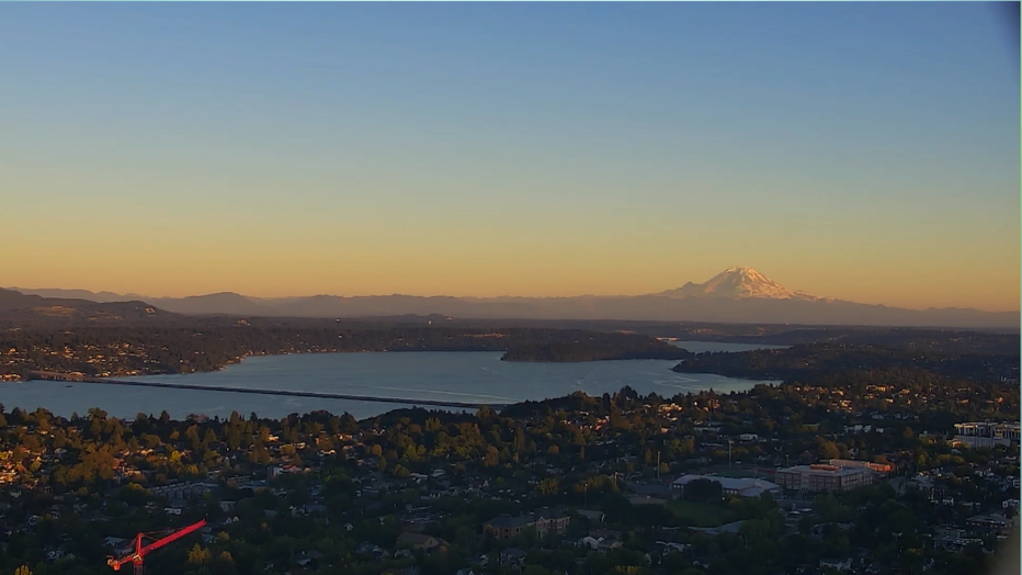
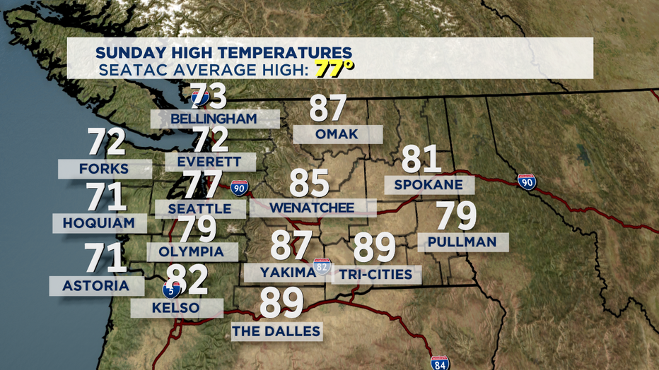
SEATTLE - Summer sunshine dominating our forecast Sunday. We saw high temperatures rebound to normal for the metro and to the south while other areas landed in the low to mid 70s on the coast and to the north.
Warm conditions will roll into the start of the work week with plenty of sunshine Monday and highs in the upper 70s to near 80 for the metro area. Overnights sit near the seasonal low of 57.
We'll dial back our highs a bit for Tuesday and Wednesday with partly to mostly sunny skies. High will hang in the low to mid 70s as our ridge of high pressure continues to exit the region.
Thursday is our best chance to see some showers, although some models suggest the precip may only fall to the north, mainly in Skagit and Whatcom Counties as well as the Cascades. Highs again will be slightly cooler than normal.
As we kick off the weekend ridging will build back in for mostly sunny days ahead. Highs climb into the mid to upper 70s Friday with low 80s for Saturday and Sunday.
Enjoy your night! ~Erin
___________________________________
- Erin Mayovsky, Q13 Forecaster
Twitter: @ErinMayovsky
FB: /ErinMayovsky
Instagram: @ErinMayovsky
___________________________________