Seattle weather: Foggy start to Saturday with plenty of afternoon sunshine
Seattle - Happy Friday! We made it to the weekend all!
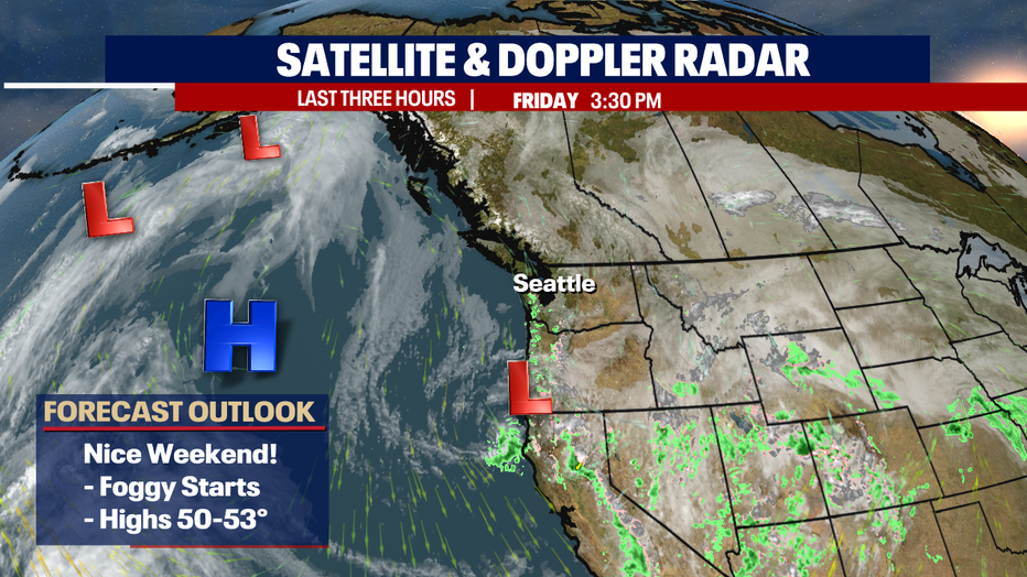
Today featured cloudy skies with showery conditions for the first part of the day. We picked up 0.46" of rain in the bucket at SeaTac. By the afternoon, clouds decreased giving way to a beautiful night. The sun set now 5:59 p.m. and it was a spectacular sight.
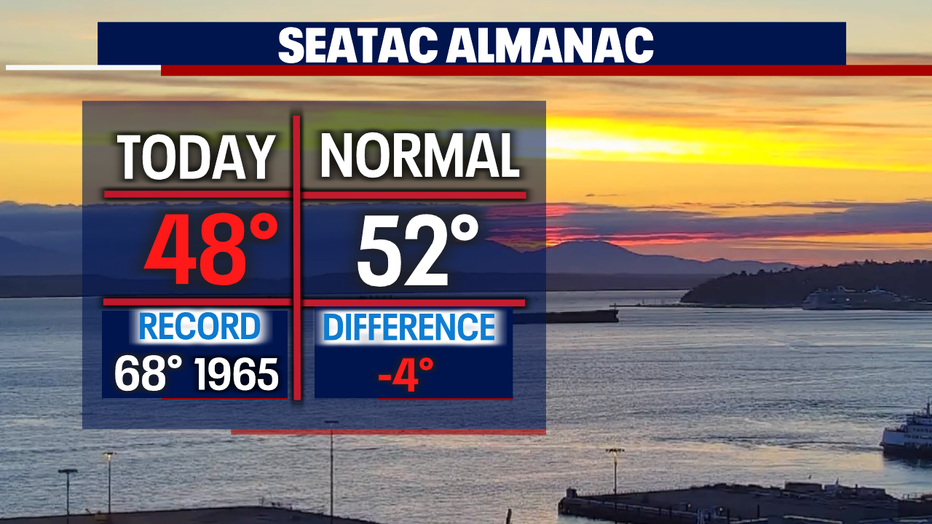
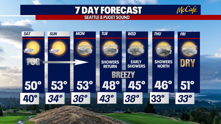
Highs around the Sound landing near 50. We'll gain a degree as average highs jump to 53 tomorrow.
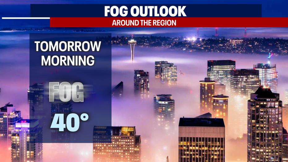
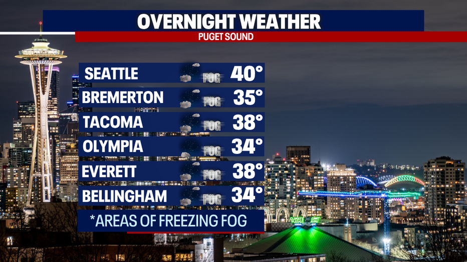
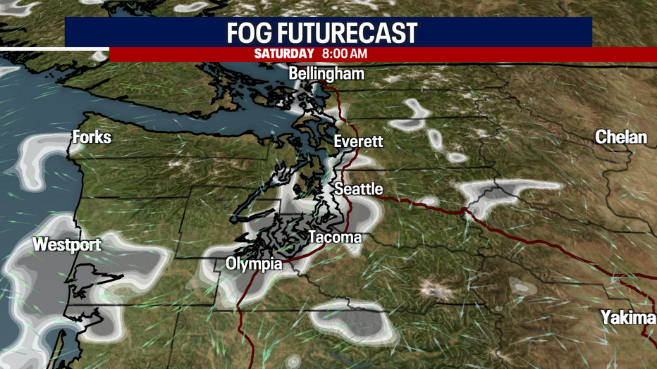
Overnight, expect patchy fog to develop for some, with a chance for freezing fog to the North and through the South Sound as temperatures land near freezing. Allow for extra time getting out the door as we could see some frosty roads too.
We can thank high pressure offshore for the sunny forecast this weekend. The high in the Pacific will help block storm systems from tracking into the region. Highs this weekend top out in the low to mid 50s. (Average seasonal high for this time of year is 53)
Our pre-spring sunshine lasts through Monday with highs near average. By Monday afternoon clouds will start to increase ahead of a cold front Tuesday. That system will deliver light showers with breezy conditions for the lowlands along with some mountain snow. Highs drop into the upper 40s.
Highs cool even more Wednesday with a few showers hanging on for the morning commute. Temps land in the mid 40s. Overnight lows will drop into the chilly zone Thursday and Friday. Look for a few showers to the north Thursday with a drier, warmer day Friday.
Have a great weekend all! ~Erin Mayovsky, FOX 13 Forecaster
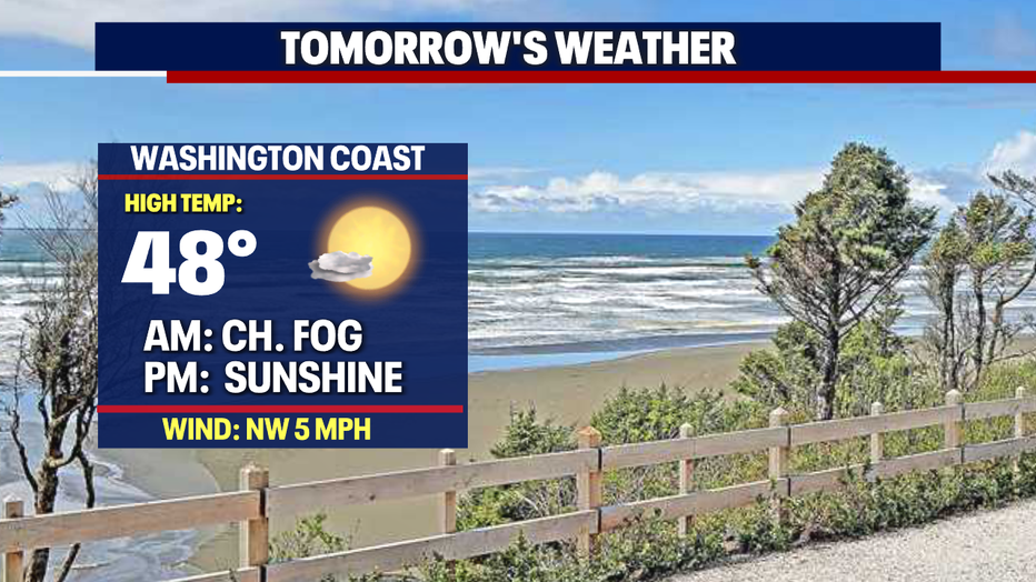
*Beach Forecast
*Mountain Forecast
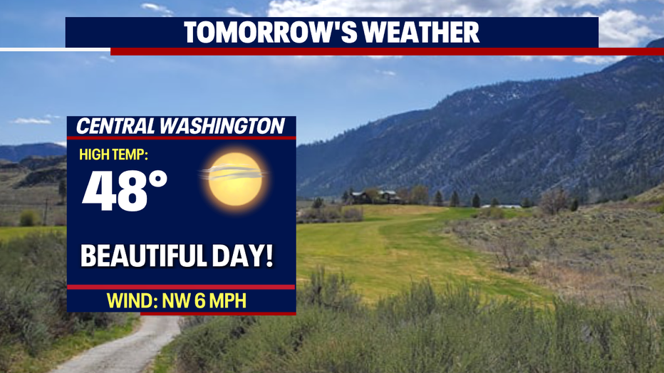
*Central WA Forecast