

First raindrops of June ahead for the weekend
SEATTLE - I hope you enjoyed your dose of early summer! Yesterday another warm day 75 at SeaTac. But that warm weather is moving off to the east to roast the Great Plains and Midwest.
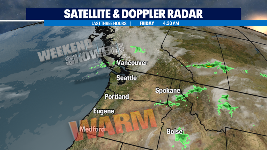
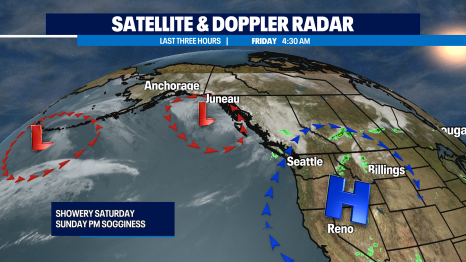
We've got some weekend showers heading into our region starting as soon as tonight.
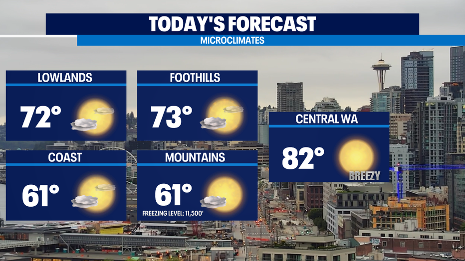
Clouds are in place for most of us, but we'll see a beautiful day ahead with a nice mix of sun & clouds. Temps will be 3-5 degrees cooler than we got yesterday in most places. The exception will be the coast which will only get into the mid to low 60s.
The cooling trend continues this weekend and a couple weather systems we're tracking will deliver some on/off passing showers with sunbreaks for Saturday. On Sunday, the morning could end up totally dry with just a few scattered showers. It looks like it'll be a bit soggier in the afternoon.
Sunday also looks like the chilliest day out of the next 7 days. Next week we'll still have some lingering showers Monday and perhaps into Tuesday.
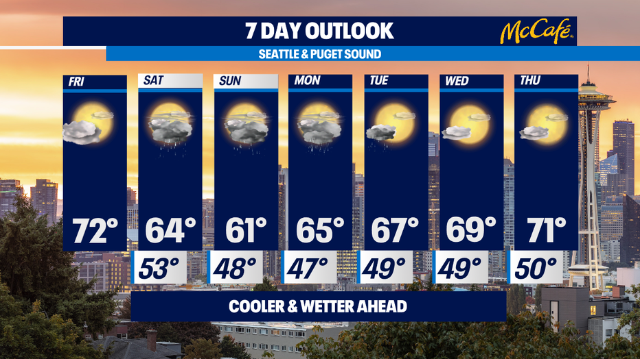
We're on track to dry out and warm back up again towards seasonal norms by the middle of the week. For the second week of June, that normal high temps ticks up to 70 degrees. Enjoy! -Tim Joyce
Q13 WEATHER RESOURCES:
DOWNLOAD: Q13 Weather and News Apps
WATCH: Forecast and Radar
READ: Closures and Delays
CHECK: Latest Weather Alerts and Live Traffic Map
INTERACT: Submit your Weather Photo
FOLLOW: Lisa Villegas, MJ McDermott, Tim Joyce, Erin Mayovsky, Grace Lim and Scott Sistek