

Few showers Saturday, more showers and gusty winds tomorrow
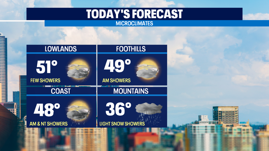
SEATTLE - Expect a few passing showers in the lowlands and light mountain snow today. There will be some breaks in the clouds too and highs will be near the norm around 51°.
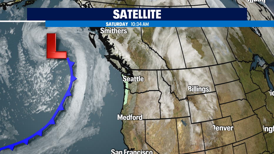
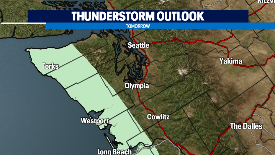
Our next front is not far behind. It will arrive on the coast late tonight and spread inland through the overnight hours bringing lowland rain, mountain snow and gusty winds of 30-40mph. Expect scattered showers and breezy conditions for much of Sunday. There is a chance for isolated non-severe thunderstorms on the coast with the main threat being small hail.
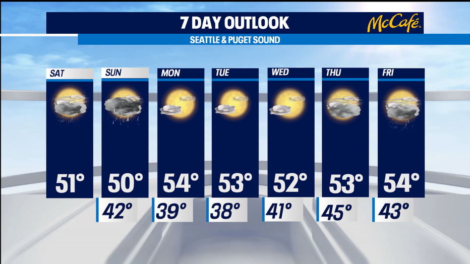
Rain totals will be highest on the coast this weekend, about three quarters of an inch and about a quarter of an inch in the Seattle metro area. Snow levels will be around 2500' today and drop to 1,500' by tomorrow morning. Snow totals in the passes will be light, around 2"-4". We turn off the faucet for much of next week! Enjoy the sunshine through midweek! Thursday will feature more clouds ahead of our next system that will bring some rain next Friday.
Have a great day!
-Q13 Meteorologist Grace Lim
Q13 WEATHER RESOURCES:
DOWNLOAD: Q13 Weather and News Apps
WATCH: Forecast and Radar
READ: Closures and Delays
CHECK: Latest Weather Alerts and Live Traffic Map
INTERACT: Submit your Weather Photo
FOLLOW: Lisa Villegas, MJ McDermott, Tim Joyce, Erin Mayovsky and Grace Lim