Cooler and cloudier through Saturday, very hot next week
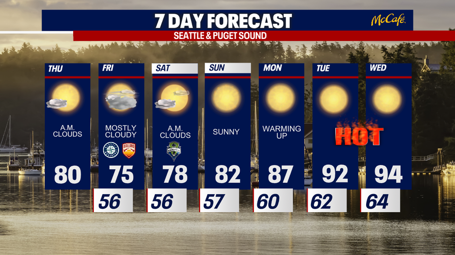
SEATTLE - Temps will cool the next three days, but next week could bring some of the hottest temps of the year so far.
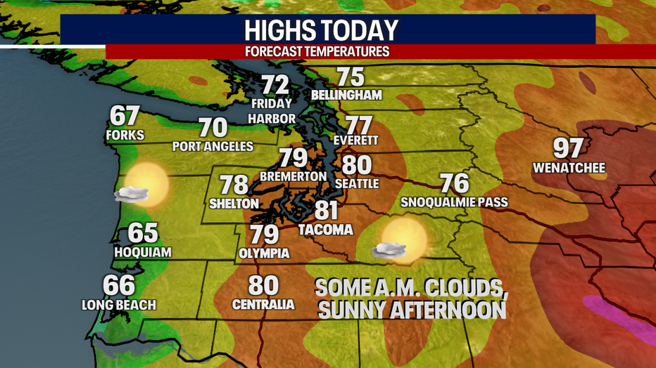
Western Washington is seeing more clouds this morning as an upper level low pressure system approaches the Northwest. Expect afternoon sunshine and highs back into the 70s for the north sound and low 80s from Seattle south.
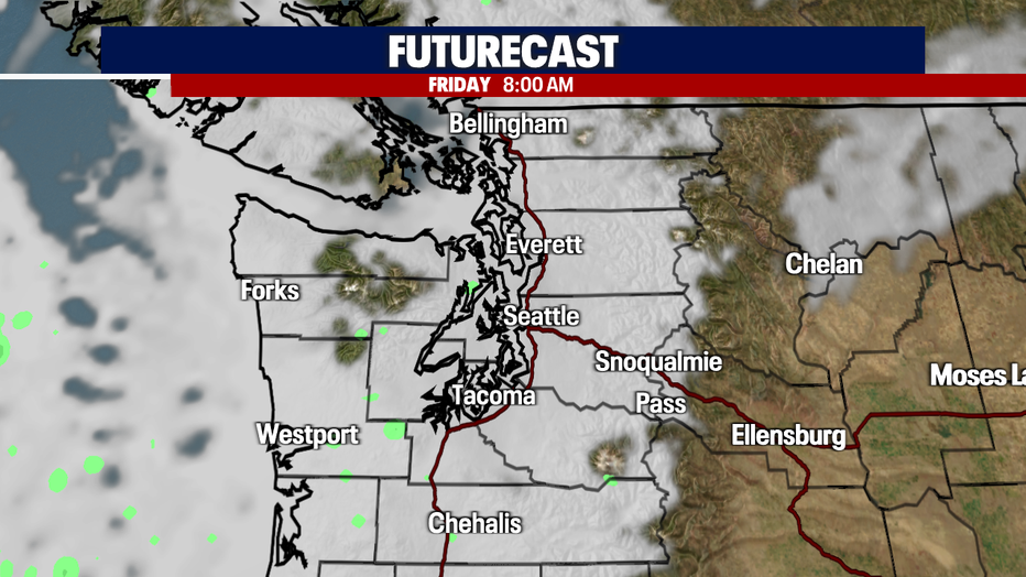
As the low pushes inland, the marine layer returns overnight tonight and into Friday morning. Expect mostly cloudy skies to start Friday with slow clearing. It may take until the late afternoon or early evening to get back to the sunshine.
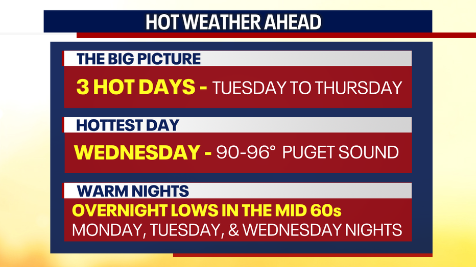
Starting next Tuesday, temperatures will soar into the 90s as a strong ridge of high pressure moves in. It won't be as hot as June 2021, but the Puget Sound area will see some of its hottest temperatures of the year so far with warm overnight low temperatures. Now is a good time to start preparing and thinking about how you are going to cool off these three days.