

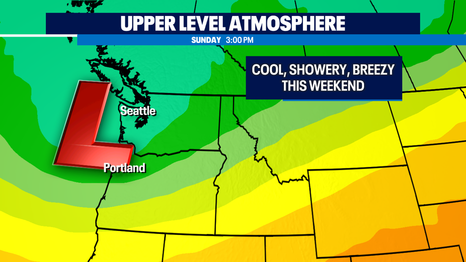
Cool, showery and breezy weekend, more showers next week
SEATTLE - A deep trough of low pressure will bring us cool, showery and breezy conditions on this first weekend of June.
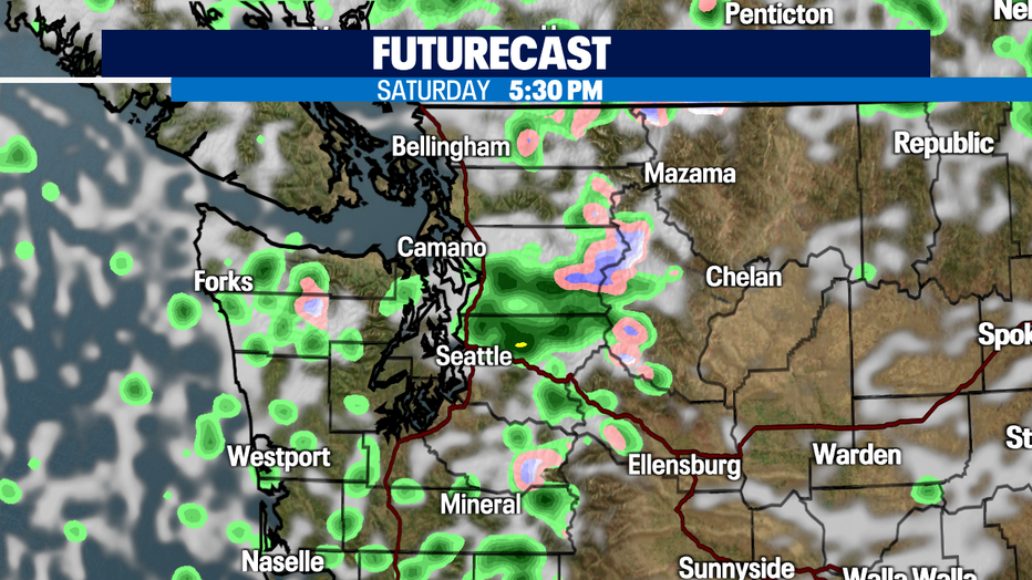
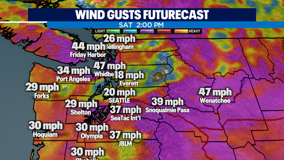
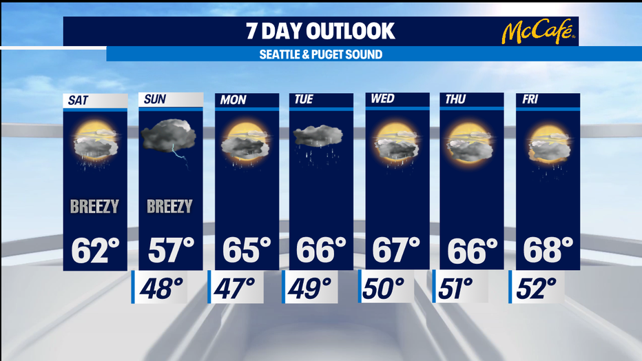
Rain chances on Saturday will be scattered in nature and isolated storms may produce lightning and hail. A convergence zone will set up in King and Snohomish counties this afternoon and evening. Winds will peak this afternoon too, with gusts as high as 20-25mph. Highs will be around 62°.
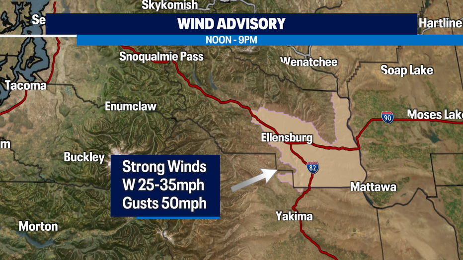
*WIND ADVISORY* is in effect for Kittitas County from noon to 9pm. Strong westerly winds of 25-35mph and gusts up to 50-mph possible. Drivers along I-90, use caution!
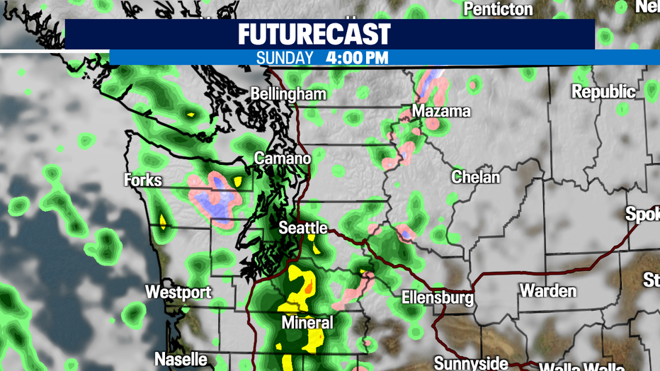
Sunday will start off with a few showers in the morning, but a front will arrive on the coast by noon, and spread inland around 3-4pm, increasing rain chances and a chance of t-storms. It will be breezy and cooler with highs only around 57°.
Unsettled weather pattern continues next week with rain chances each day. Highs will be closer to normal in the upper 60s.
Have a great day!
-Q13 Meteorologist Grace Lim
Q13 WEATHER RESOURCES:
DOWNLOAD: Q13 Weather and News Apps
WATCH: Forecast and Radar
READ: Closures and Delays
CHECK: Latest Weather Alerts and Live Traffic Map
INTERACT: Submit your Weather Photo
FOLLOW: Lisa Villegas, MJ McDermott, Tim Joyce, Erin Mayovsky, Grace Lim and Scott Sistek